


Le caylar le cros

Glurps
User
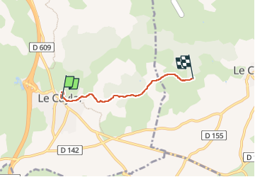

Length
3.8 km

Max alt
785 m

Uphill gradient
55 m
Km-Effort
4.6 km

Min alt
713 m

Downhill gradient
93 m
Boucle
No
Creation date :
2022-05-26 12:46:01.0
Updated on :
2022-05-26 14:55:47.364
1h57
Difficulty : Easy

FREE GPS app for hiking
 SityTrail
IGN / Geographical institutes
SityTrail Plus
The world is yours!
About
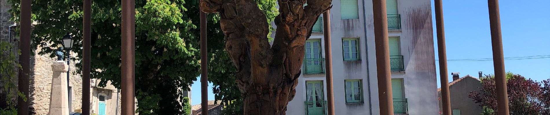
Trail Walking of 3.8 km to be discovered at Occitania, Hérault, Le Caylar. This trail is proposed by Glurps.
Photos

Positioning
Country:
France
Region :
Occitania
Department/Province :
Hérault
Municipality :
Le Caylar
Location:
Unknown
Start:(Dec)
Start:(UTM)
525581 ; 4856813 (31T) N.
Comments